Field grass.
Boundary/House Surveys (Land Use) – Terrane Skip to main content
Request Proposal

Surveys Boundary/House Surveys

Field grass.

Survey

What it is.

Define the Limits

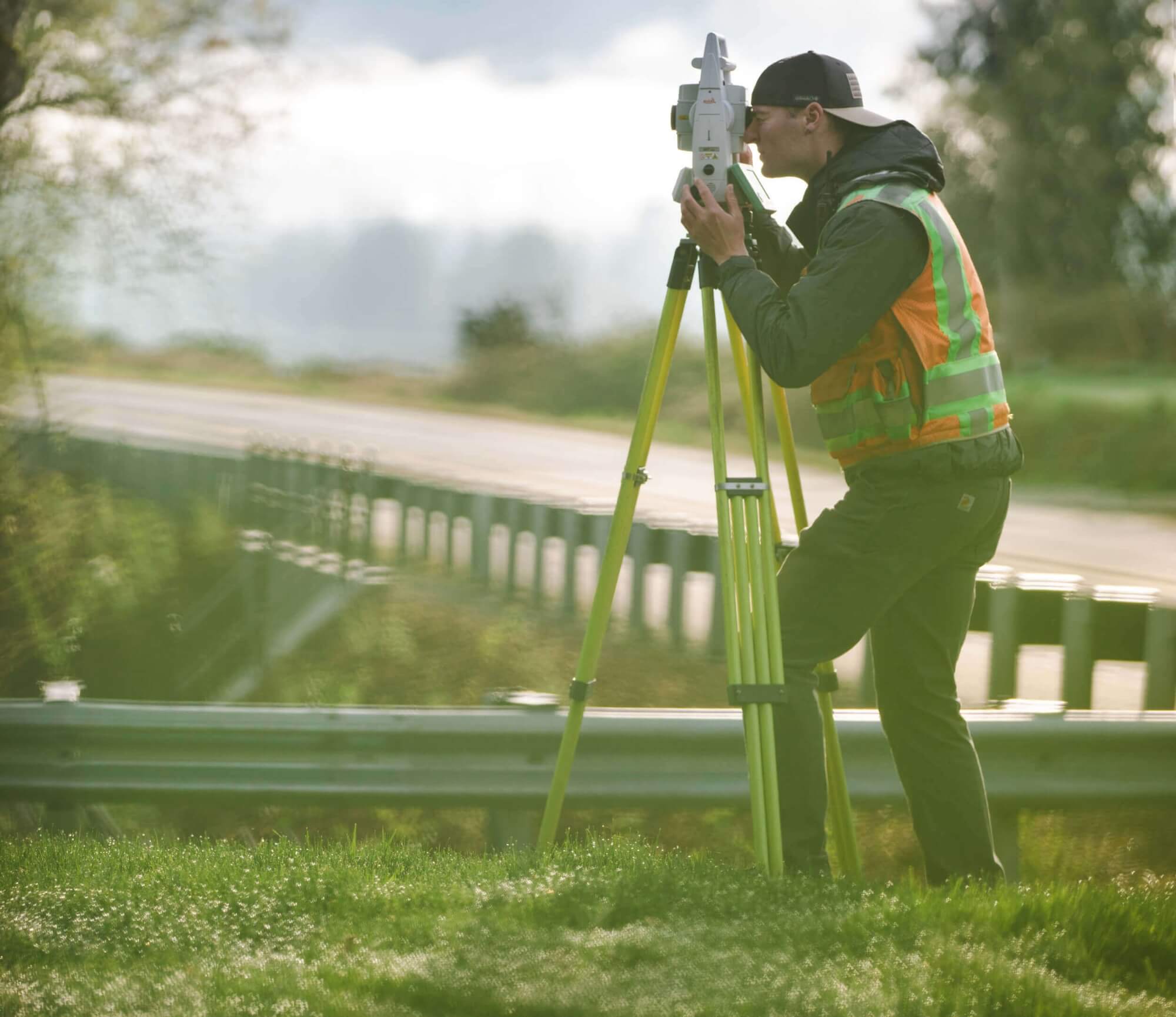
The determination of bearings and distances, computed per a legal description, that define the limits of a tax parcel. Lot corners are set or recovered. Fences, lines of occupation, and encroachments are mapped, and the existing structure is located on site.
Terrane | Land Use Surveys

Boundary/House Surveys

How it Works.

Plot the Location

A boundary and house survey is used to show and plot locations of the structure(s) relative to the lot lines to show current setbacks. Typically, this survey scope will be adequate for a new deck, minor remodel, small addition, or bump out.

We employ only the best talent in land surveying, from onsite surveyors to project managers and operators. We are professionals. Experts. Deeply trained, highly motivated — ready to get the job done.

What's Your Measure ?

Get a quote.

Terrane | Land Use Surveys

Boundary/House Surveys

Why Terrane.

Provide the Data

Terrane understands jurisdictional requirements deeply and that a simple location of the structure may not always meet permit needs adequately. Lot coverage requirements, beyond just the footprint of a structure can have a significant impact on design and permitting efforts. Eaves, overhangs, and attached decks (above 30” from grade) can count against the percentage of allowable lot coverage. We have made it a standard procedure that on all boundary and house locate projects we also locate these features to provide the necessary data to alleviate potential review correction cycles and delays.

field-equipment
Back to top of page