Field grass.
Boundary/Topographic Surveys (Commercial) – Terrane Skip to main content
Request Proposal

Surveys Boundary/Topographic Surveys

Field grass.

Survey

What it is.

Elevation Points

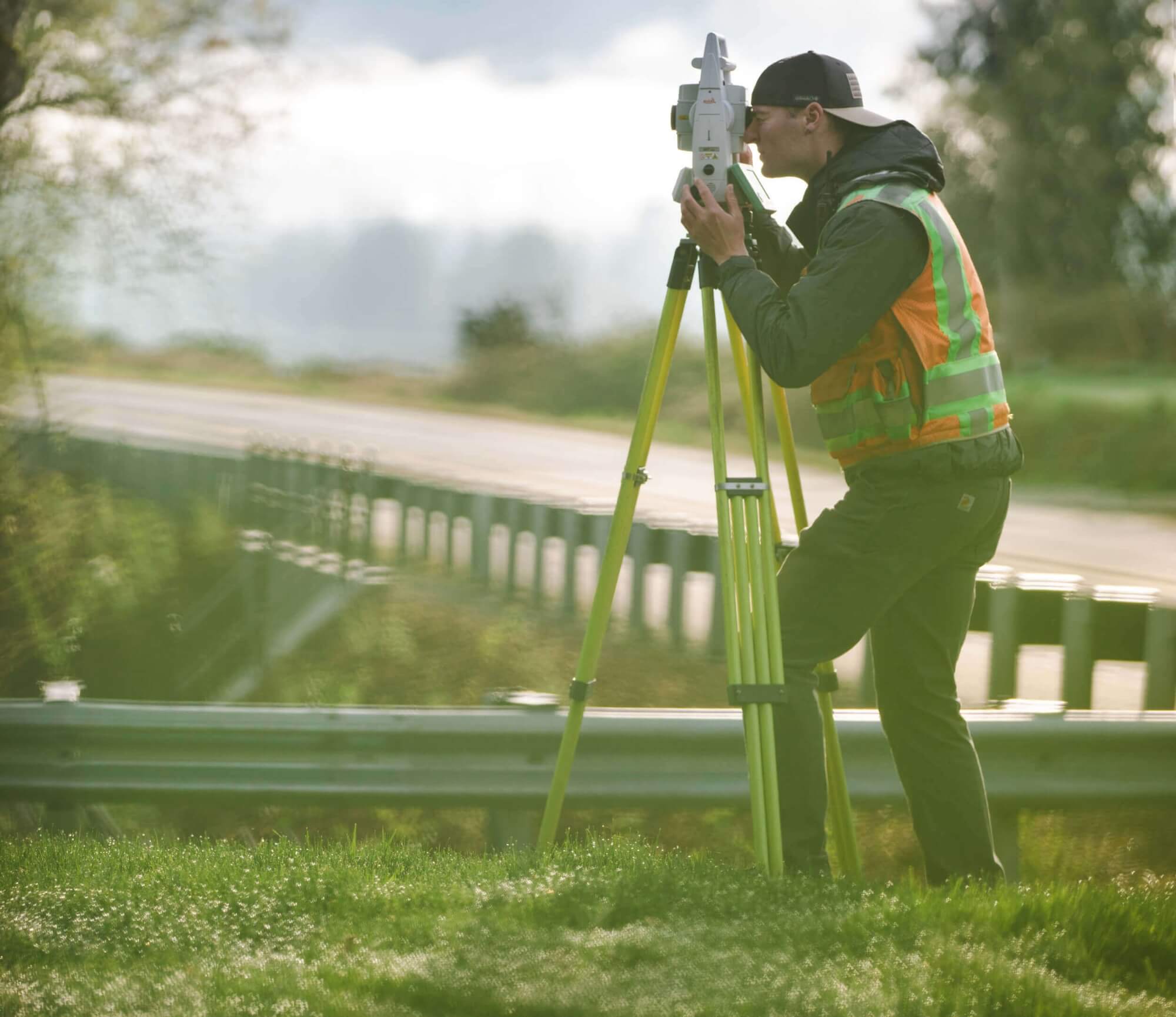
A topographic survey is the representation of real world, 3D characteristics of a property. This survey is comprised of site data and elevation points (spot elevations) on a portion of land and presents them as contour lines on a drawing to show the shape, configuration, and relief of the surface. A contour line represents the heights of the land. A topographic survey collects vertical (and horizontal) information of the natural and improved (man-made) features of the property, noting elevations on each element.

The survey shows the location, size, and height of these site improvements, as well as gradual changes in elevation (typically in two-foot contour intervals). Topographic surveys are typically used to show elevations and grading features for design and site planning for homeowners, architects, engineers, builders, contractors and other professionals.
Terrane | Commercial Surveys

Boundary/Topographic Surveys

How it Works.

A Necessity

A topographic survey can be essential, and often required, for permitting and design efforts. For projects that involve new construction, renovations/additions, site improvements, or major landscaping, an accurate basemap to show current site conditions relative to the boundary lines is vital. A comprehensive boundary and topographic survey can be the most important aspect to start the design of a new project.

Terrane’s standard scope of services for architectural topographic surveys include:

  • Computing parcel for boundary determination, plotting bearings and dimensions
  • Establishing survey control to site and performing a full boundary survey staking all lot corners
  • Locating lines of occupation, fences, and plotting encroachments, if any.
  • Mapping all site features and topographic information (typically two-foot contours) that contain:
    • spot elevations (to create a triangular irregular networks (TIN surface)
    • all structures with finish floor and peak elevations, eaves, and deck
    • walls, rockeries, stairs
    • improvements and surfaces
    • significant trees (6” diameter or greater) & approximate drip-lines streets/frontages
    • overhead power, and visible utilities & inverts
  • Preparing a drawing showing the above (24″ x 36″ PDF & zipped AutoCAD file).

We can tailor proposals to fit project-specific needs and scope criteria and requirements as defined by an architect, engineer, design team, etc. Our full color surveys feature an expanded use of line weights and hatching to create drawings that are easy to read, differentiating site features, surfaces (individual hatchings for gravel, pavement, concrete, etc.), improvements, and utilities. All project specifics are detailed in one concise location with revision history clearly shown.

We employ only the best talent in land surveying, from onsite surveyors to project managers and operators. We are professionals. Experts. Deeply trained, highly motivated — ready to get the job done.

What's Your Measure ?

Get a quote.

Terrane | Commercial Surveys

Boundary/Topographic Surveys

Why Terrane.

Expert Perspective

Terrane’s approach to preparing a boundary and topographic survey is based from an architectural and overall design perspective. Having a clear understanding of project scope and design goals, we ensure all pertinent site features are mapped relative to the boundary lines to assist with site planning, lot coverage, impervious surface calculations, height restrictions, and setbacks.

field-equipment
Back to top of page