Survey
What it is.
Elevation Points
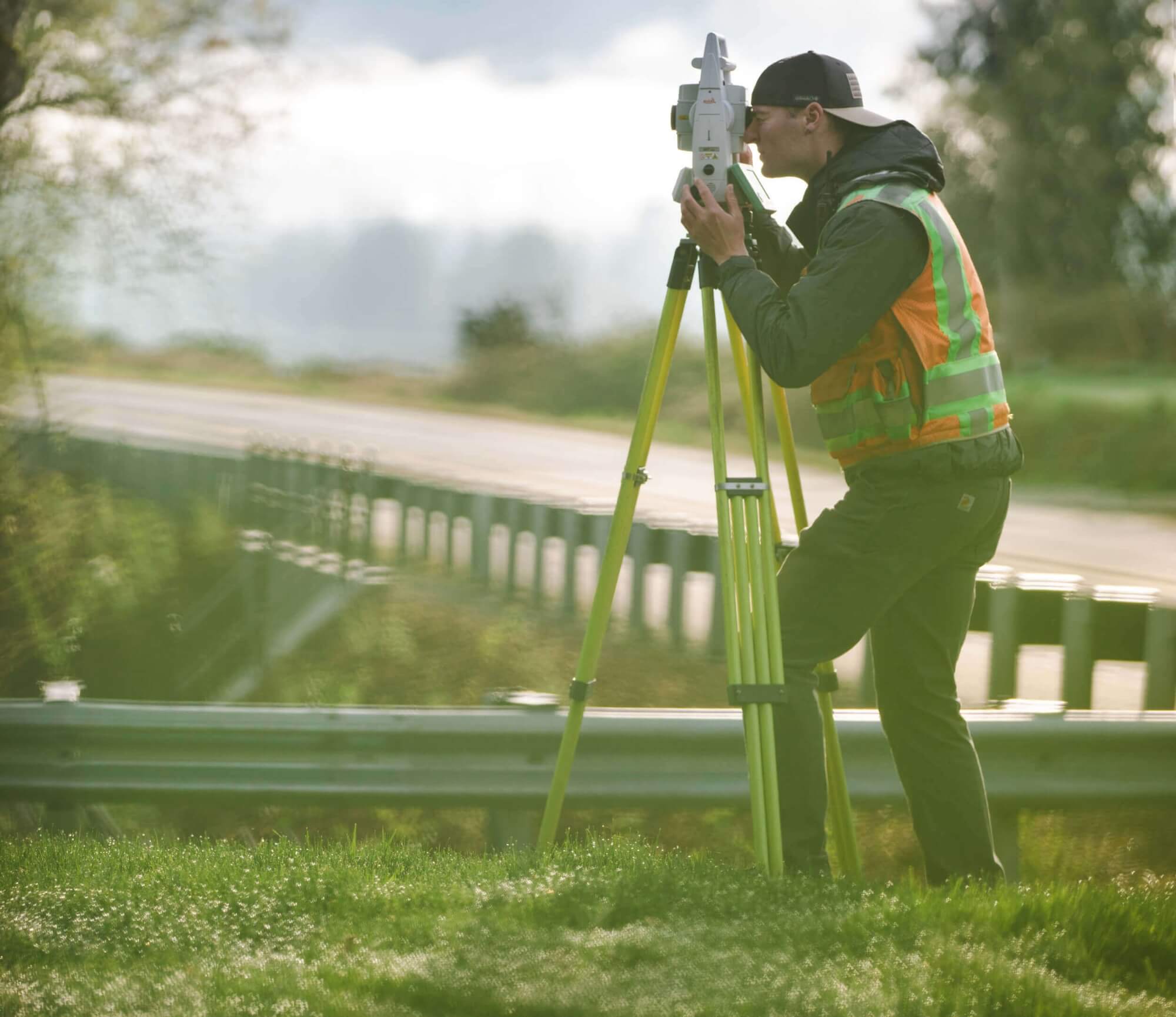
A topographic survey is the representation of real world, 3D characteristics of a property. This survey is comprised of site data and elevation points (spot elevations) on a portion of land and presents them as contour lines on a drawing to show the shape, configuration, and relief of the surface. A contour line represents the heights of the land. A topographic survey collects vertical (and horizontal) information of the natural and improved (man-made) features of the property, noting elevations on each element.
The survey shows the location, size, and height of these site improvements, as well as gradual changes in elevation (typically in two-foot contour intervals). Topographic surveys are typically used to show elevations and grading features for design and site planning for homeowners, architects, engineers, builders, contractors and other professionals.

