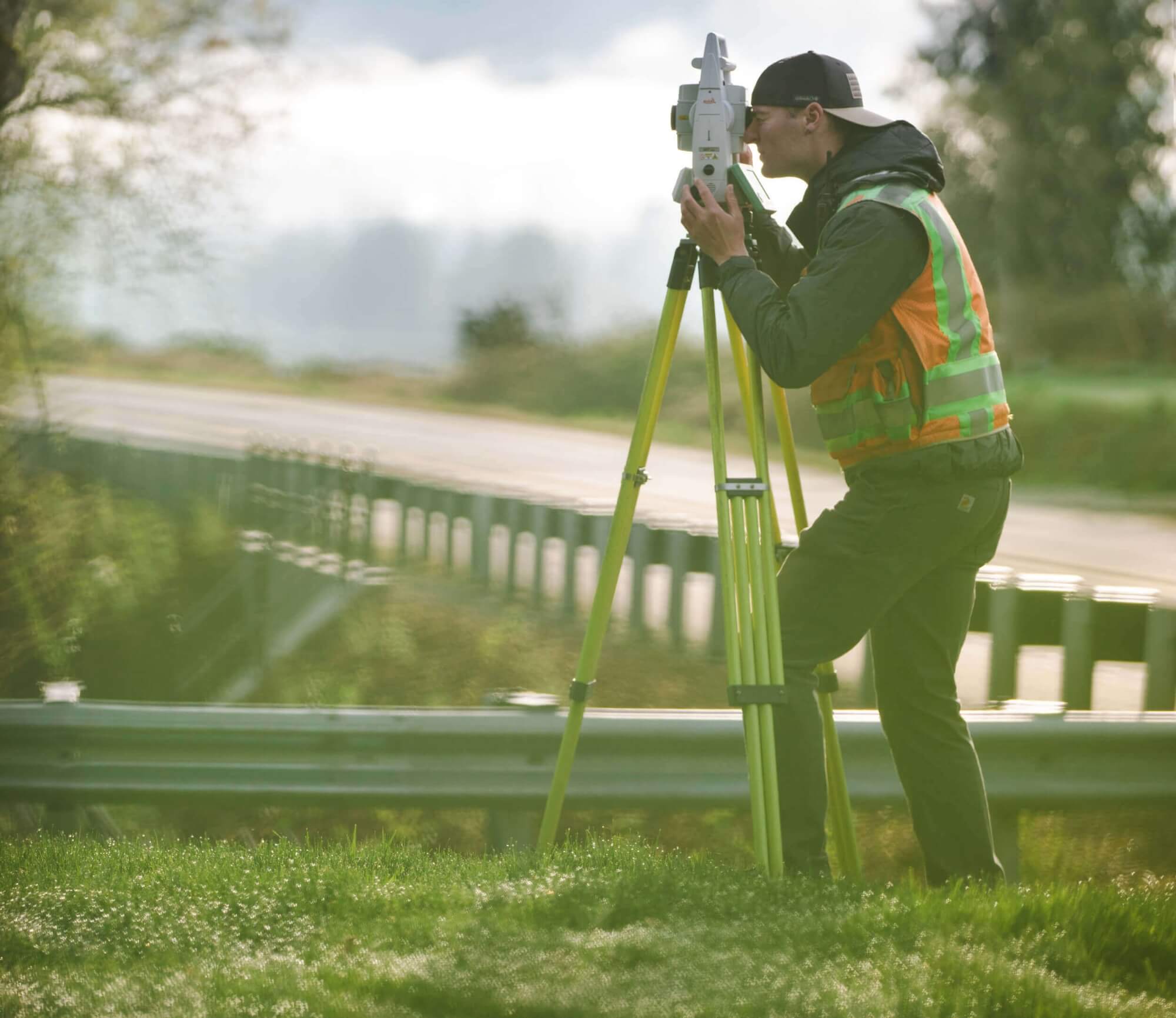
Survey
What it is.
Define the Area
A legal description and map exhibit are used for land titles to recognize a definable or metes-and-bounds area over a portion of property to be designated for a specific use or conveyance.
What it is.
A legal description and map exhibit are used for land titles to recognize a definable or metes-and-bounds area over a portion of property to be designated for a specific use or conveyance.
How it Works.
The legal description uniquely defines the limits of a parcel, easement, use area, agreement area, vacation area, or protection area. The map exhibit then delineates that specific area visually on a drawing. Typically, the exhibits for the legal description and map are prepared on an 8.5” x 11” pdf to meet recording standards, stamped and signed by a Professionally Licensed Surveyor (PLS).
We employ only the best talent in land surveying, from onsite surveyors to project managers and operators. We are professionals. Experts. Deeply trained, highly motivated — ready to get the job done.
What's Your Measure ?
Get a quote.Why Terrane.
We have computed and prepared thousands of legal descriptions and accompanying map exhibits for a variety of uses within a multitude of jurisdictions (including crane easement exhibits in Seattle and Bellevue, tree grove easements for the city of Kirkland, and winding driveway easements in steep areas of Mercer Island). Terrane has completed many intricate and detailed exhibits and is prepared to tackle any supplemental documents required for your specific project needs.
